


(Eagle News) — “Wutip” has intensified into a severe tropical storm as it moved closer to the Philippine Area of Responsibility.
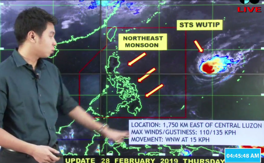
In its latest weather update, the Philippine Atmospheric Geophysical and Astronomical Services Administration said the center of “Wutip” was seen 1750 kilometers east of Central Luzon, packing maximum sustained winds of 110 kilometers per hour and gustiness of up to 135 kilometers per hour.
PAGASA had said “Wutip,” which is moving west northwestward, may enter PAR on Thursday, Feb. 28.
Meanwhile, Cagayan Valley, Eastern Visayas, Caraga and the provinces of Aurora and Quezon are expected to experience partly cloudy to cloudy skies with isolated light rains as the northeast monsoon affects the Philippines.
Metro Manila and the rest of the country will experience partly cloudy skies, PAGASA said.
Moderate to strong winds will prevail over northern Luzon and the eastern section of the country.
The rest of the country will experience slight to moderate winds, according to PAGASA.


