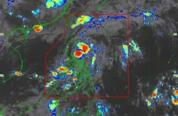
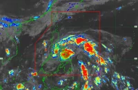
(Eagle News)–“Hanna” has intensified into a severe tropical storm.
The Philippine Atmospheric Geophysical and Astronomical Services Administration said the center of “Hanna” was estimated 795 kilometers east of Calayan, Cagayan, packing maximum sustained winds of 95 kph near the center and gustiness of up to 115 kph.
PAGASA said today and tomorrow, Aug. 7, moderate to heavy monsoon rains will be experienced over Western Visayas, northern portions of Palawan (including Calamian and Cuyo Islands), Occidental Mindoro, Oriental Mindoro, Romblon, Cavite, Batangas, and Laguna.
Cloudy skies with scattered rain showers and thunderstorms will also be experienced over Metro Manila, Central Visayas, and the rest of Luzon.
“Residents in the aforementioned areas, especially those living in areas identified to be highly or very highly susceptible to floods and rain-induced landslides, are advised to take precautionary measures, coordinate with local disaster risk reduction and management offices, and continue monitoring for updates..,” PAGASA said.
According to the weather bureau, fisherfolk and those with small seacraft should also not venture out over the seaboards of Luzon and Visayas and the northern and eastern seaboards of Mindanao “due to potentially rough sea conditions.”
Although a tropical depression has been spotted 225 kilometers east of Northern Luzon, outside the Philippine Area of Responsibility, PAGASA said it is less likely to enter PAR.
The low pressure area monitored west of Luzon is also less likely to develop into a tropical depression.


