CHESEAUX-LAUSANNE, Switzerland (Reuters) — The potentially catastrophic dangers of a drone striking an airplane have long been feared by aviation experts. The increasing commercial availability of unmanned aerial vehicles (UAVs), allied with the current gaps in sharing of flight operation data between UAV operators and aviators, amplifies the risks.
Now senseFly, a commercial drone subsidiary of the Parrot Group, has joined forces with Swiss-based air navigation app makers to develop what the two firms call the first app-based solution for drone owners seeking to make general aviation (GA) pilots aware of their presence in the increasingly crowded skies.
The aim is to avoid mid-air incidents around 200 – 400 feet (60 – 120 m) above ground level, where most light-weight drones currently fly.
According to senseFly, the two companies’ Safer Together program is the first time both GA pilots and drone operators have been offered bi-directional awareness of each other’s airborne activities. The program aims to provide UAV operators with the information required to change direction, pause or abort a flight, in order to avoid collision.
SenseFly chief executive officer (CEO) Jean-Christophe Zufferey, told Reuters: “You get information as a drone operator that an aircraft could be passing by in a few seconds. Then you take manual action like, for example, lowering the flight altitude or bringing the drone back on land. In the future we may imagine automatic collision avoidance procedures or algorithms that will automatically bring the drone closer to the ground.”
Alexis Ruyant, senior project manager for Air Navigation Pro, said the system was inexpensive for drone users. “There are solutions for general aviation pilots but usually they require some hardware installed on your machine. This solution is the first for drones and it relies only on equipment that everybody already has, because it’s a software solution.”
The software solution is its eMotion flight planning software and Air Navigation Pro app, which merely require an internet connection during flight.
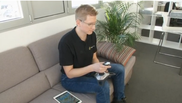
“For the users it’s pretty simple,” said Ruyant. “Nowadays many pilots are equipped with iPads. And for the solution this is the only thing you need – an iPad with the right application. You don’t need any specific hardware. All the computation is made server side, so you need your iPad and you need a connection. That’s it.”
The program has been developed in two phases. The first phase saw the release late last year of GA pilot functionality for eMotion flight planning software, allowing operators of senseFly drones to create a special ‘advisory’ to nearby pilots when activating automated drone flights.
This information is then transmitted to all smart devices of connected Air Navigation users, enabling them to see details of the senseFly operator’s planned drone working area, including location, likely timings, height above the ground, type of drone, both prior to, and during the flight.
Phase two will see senseFly drone operators given the ability to view the Air Navigation users’ flights in real time, giving bi-directional awareness of aerial activity for both GA pilots and drone operators.
Zufferey told Reuters that the more drone users sign up for the program, the easier it will be for the authorities to spot nefarious drone users.
“Making sure that drones are connected to the internet and are broadcasting their identification can help also for bad drones, drones used in terrorism, because if the police would see a drone that is not on the system it means that maybe they are badly intentioned,” he said.
Both companies admit that for the program to be truly effective, it will need to become the standard system used by drone makers of all types.
But with a reported surge in near-collisions globally, the Safer Together team hopes its low cost and ease of use will help make it the future industry standard for drone collision avoidance.


