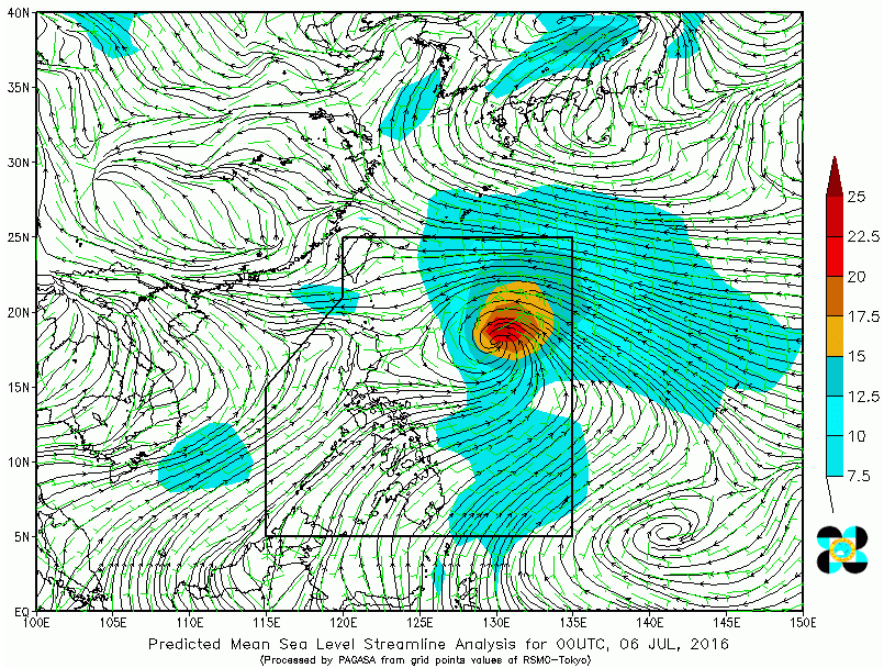
(Eagle News) — Typhoon “Butchoy” (International Name: Nepartak) has intensified and maintained its direction, state weather bureau Philippine Atmospheric, Geophysical And Astronomical Services Administration (PAGASA) said Wednesday morning.
The center of “Butchoy” was last eyed at 860 km east of Calayan, Cagayan. It has maximum sustained winds of 195 kph near the center, and gustiness of up to 230 kph.
“Butchoy” is forecast to move northwest at 30 kph.
PAGASA said estimated amount of rainfall is from moderate to heavy within the 550 km diameter of the typhoon.
As of 11:00 a.m., PAGASA said Batanes group of Islands is under tropical cyclone warning signal no. 1.
Impacts of the wind may include very light damage to low risk structures, slight damage to houses with light materials. Rice crops may suffer significant damage if it’s in its flowering stage.
At 1:00 PM today, Typhoon Butchoy is at 750 km East of Calayan Island, Cagayan (19.3°N, 128.6°E).
PAGASA advised the public and the Disaster Risk Reduction and Management Council to take appropriate actions and watch for the next bulletin to be issued Wednesday at 5:00.


