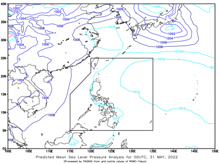
(Eagle News) — “Neneng” has continued to maintain its strength while moving west-northwestward.
According to the Philippine Atmospheric Geophysical and Astronomical Services Administration, the center of the tropical depression was so far estimated 1,015 km east of Extreme Northern Luzon.
It is packing maximum sustained winds of 55 kph near the center and a gustiness of up to 70 kph.
PAGASA said the passage of “Neneng” may bring heavy rains over Northern Luzon beginning tomorrow.
Tropical Cyclone Wind Signal No.1 may be hoisted this morning or afternoon over the eastern portion of Northern Luzon.
The weather bureau said this was “in anticipation of winds” associated with the approaching tropical cyclone.
Due to the surge of the northeasterly surface windflow, a marine gale warning remains in effect over the seaboards of Northern Luzon and the western seaboard of Central Luzon.
Tropical Depression “Neneng” is forecast to move west-southwestward in the next 24 hours before turning westward tomorrow, PAGASA said.


