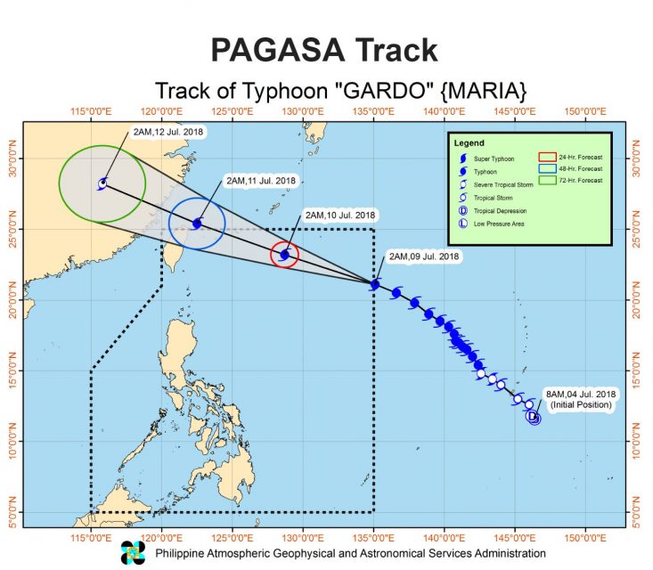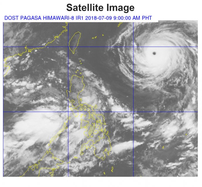
(Eagle News) – The typhoon with international name Maria has already entered the Philippine Area of Responsibility (PAR) and was named “Gardo.”
There is no tropical cyclone warning signal yet in effect on Monday, July 9, after Gardo entered the country.
But weather bureau PAGASA said that this may “enhance the Southwest Monsoon (Habagat) which will bring monsoon rains over MIMAROPA and Western Visayas, and occasional rains over Metro Manila, CALABARZON, Bicol Region, Zambales, Bataan, and Aurora until Tuesday (10 July).”
Gardo has maximum sustained winds of 200 kph near the center and gustiness of up to 245 kph. It is forecast to move West Northwest at 30 kph.

Monsoon rains may also affect most of Luzon, especially over the western section, beginning Wednesday (11 July), PAGASA said.
The bureau thus advised residents of these areas, especially those living in low-lying and mountainous areas, “to take appropriate actions against possible flooding and landslides resulting from heavy rains.”
As of 4 a.m. Monday, July 9, the eye of Typhoon “GARDO” was located based on all available data at 1,325 km East of Basco, Batanes (21.3 °N, 134.7 °E).
Several towns and cities in Luzon, including Metro Manila, have declared class suspensions in all levels for Monday in anticipation of the typhoon’s entry into the country.


