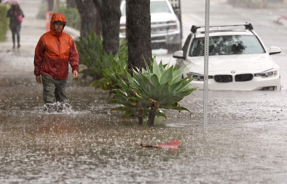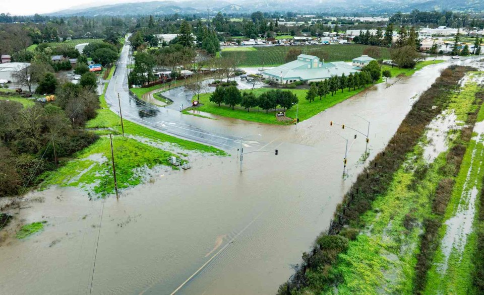
LOS ANGELES, Feb 1, 2024 (AFP) – The US West Coast was getting drenched Thursday as the first of two powerful storms moved in, part of a “Pineapple Express” weather pattern that was washing out roads and sparking flood warnings.
An atmospheric river was dumping heavy rain and snow over a wide swath of the region, ferrying tropical moisture from the ocean near Hawaii — a weather phenomenon named after the tropical fruit that grows on the islands.
Northern California was walloped on Wednesday, leaving streets in San Francisco flooded after as much as an inch (2.5 centimeters) of rain fell in an hour.
By Thursday morning, it was Southern California’s turn, with Los Angeles and surrounding areas getting hit.
Footage showed major roads in the city completely inundated, while a miles-long stretch of the picturesque Pacific Coast Highway was shut.
Local television showed cars submerged at one intersection where the city’s drains had become overwhelmed.
Mountains in Southern California were expected to get up to 18 inches of snow by the end of Thursday, with the Sierra Nevada range also expected to be blanketed.
Forecasters were warning that Thursday’s deluge was just the first course, with even more extreme weather expected over the coming days.
The National Weather Service said “the largest storm of the season” would likely begin on Sunday.
“While the exact timing, rates and amounts are still uncertain, it is very likely that this will be a serious two- to three-day storm system,” the NWS said.
“Early estimates call for widespread rain amounts of two to four inches for lower elevations and likely twice those amounts in the south facing mountains.”
That could cause severe problems, including landslides and flooding throughout the area.
The US West Coast endured a difficult winter last year when a series of atmospheric rivers dumped billions of gallons (liters) of rain and snow.


That brought widespread flooding and travel disruption, as well as problems with the power grid.
But it also replenished severely depleted reservoirs, which had sunk to record lows after years of intense drought.
While wet weather is not unusual during California’s winters, scientists say human-caused climate change is altering the planet’s weather patterns.
This makes storms wetter, more violent and more unpredictable, while causing dry periods to be hotter and longer.


